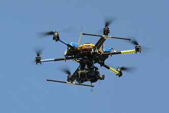
UAV Transportation and Traffic Monitoring Services
|
Video's courtesy - www.datafromsky.com
|
This one minute and 15 second video, on the left above, on traffic patterns is extremely eye opening.
Click on the video to the left to view the traffic pattern video. See if anything stands out to you.
Transport infrastructures are a key asset for development in any country. Therefore, efficient traffic monitoring and control services are required to manage the following:
• Incident detection
• Incident prevention systems
• Travel times
• Speed control
• Enhance traffic flow
• Increase road safety
• Ramp metering
• Dynamic lane control
• End user information systems (pre-trip information, on trip information)
Traditionally traffic management has been using the data gathered from people on the ground in deckchairs with clipboards, fixed CCTV on specific points of the road that have a limited view of the area or using expensive helicopters to fly around a larger area.
Intersections are one of the most complicated points due to its dynamism and thus, needs precise and constant tracking for further analysis. Manual counting of traffic is prone to very inaccurate data, as human error will play a huge part in data collection. Fixed CCTVs have a limited view of the junctions and cannot give you a greater context of the scene. As mentioned before, the other traditional alternative is very costly. However the incorporation of new technology, Unmanned Aerial Vehicles (UAVs) to this industry can improve substantially the existing traffic control systems.
FireFly is providing the most innovative and efficient solution as introduces UAVs. The use of UAVs implies overcoming the main limitations of the traditional methods previously mentioned. These are the main benefits:
• Mobility, UAVs are not restricted to be located only in one specific location.
• Large areas coverage offering more detailed back-up documentation.
• High-quality data gathered from an easy to follow process.
First the UAV captures a stabilized video from above while keeping a record of the road (either stretches, junctions or roundabouts, or a combination of them all). Then, using specialised software to process the information gathered, Vertex Airdetects the vehicles, analyses their trajectory and other data from the video. The high accuracy of the software enables Vertex Air to provide comprehensive information about the road users’ behaviour.
Our reports assist on the following:
• Gate counting
• Automatic trajectory extraction
• Advanced trajectory analysis
• Determination of used input and output gateways
• Measure speed, acceleration and time of passage
• Recognition and tracking of road users (vehicles, trucks, etc.)

Michigan DOT considers using drones for road condition monitoring.
Equipment World Magazine - Construction Equipment, News and Information
Follow link for story.
http://www.equipmentworld.com/michigan-dot-might-begin-usin . . .
